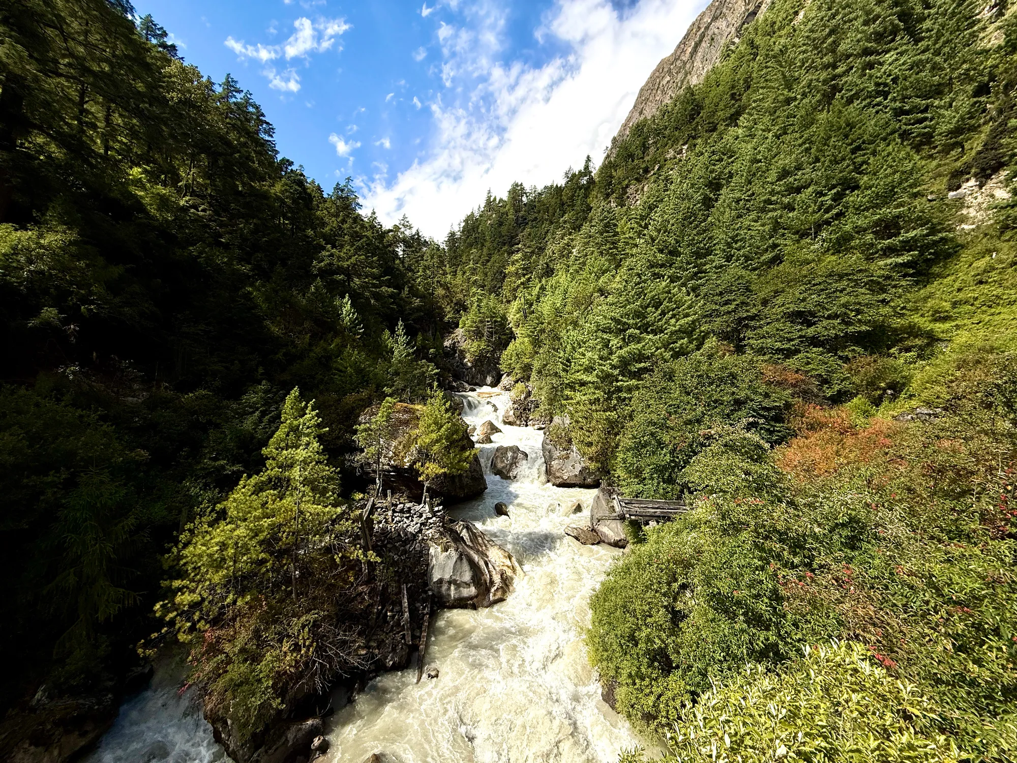
The day started, as it always does, at 07:30 with the water ritual. Two Nalgenes, each supposedly two liters and therefore, according to science, about two kilos. I remain convinced they weigh closer to four.
The process is the same every morning: rinse them out, refill, drop in Aquatabs, and set a thirty-minute timer. Thirty minutes for the chlorine to do whatever it does, the specifics of which I prefer not to imagine while drinking it. Watching the Netflix series Kingdom (which has waterborne parasites turn people into zombies) while on the flight over was maybe not the best idea.
Once the timer buzzes, the first bottle—the one in the quick-access pocket of my pack—gets its punishment: a packet of LMNT dumped in. It usually takes me ten minutes to work up the willpower to actually drink it. Until then it sloshes around, salty and resentful.
Here’s a tip, if you ever find yourself in this situation: always bring two different-colored Nalgenes. Never, under any circumstances, confuse treated water with untreated.
The cycle continues through the day: finish the LMNT one, refill it from a stream, drop in another Aquatab, and demote it to a “slow access” pocket. Meanwhile the bottle that’s been quietly chlorinating in the background gets promoted to quick-access status, with two Propel packets for variety. Two LMNTs a day, four Propels a day: four liters of electrolyte-fortified, questionably safe water.
With the water ritual out of the way, it was time to get moving. Today was shorter in distance but still punishing, with over 3,281 feet of vertical gain expected. The morning began brisk at 61°F, so I foolishly felt safe in the warmer trail pants I’d chosen the night before. Ten minutes later the sun found us, and I was melting.
We climbed steadily out of the valley floor, passing through stunning villages—including one with its own Everest-Base-Camp-style bakery, proudly serving cakes made from wheat grown right there.
Today was another distinctly Buddhist day. At first I started photographing the endless Mani stones, but soon realized that once you’ve seen a thousand, you’ve essentially seen ten thousand. I stopped snapping photos unless a wall was particularly special, which most were not.
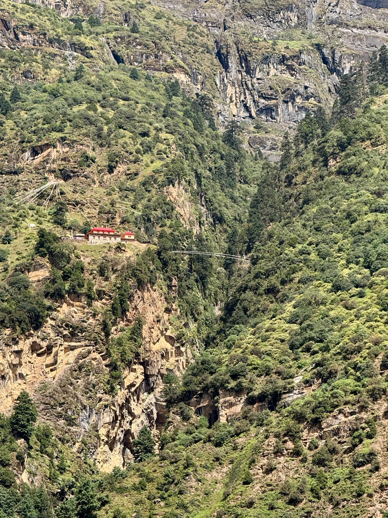
Gumpa up on a hill
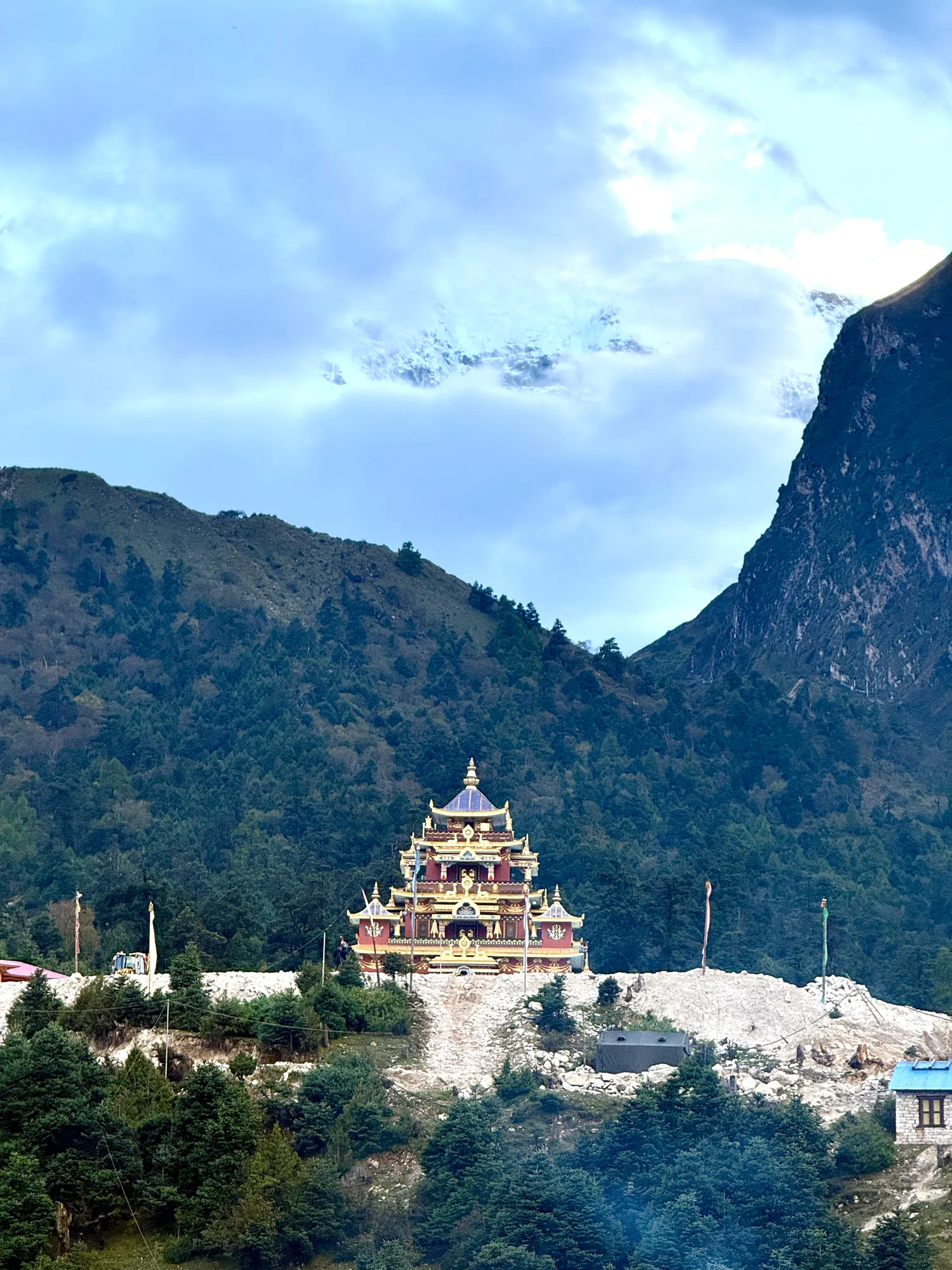
Shyala Monastery, Manaslu in the background
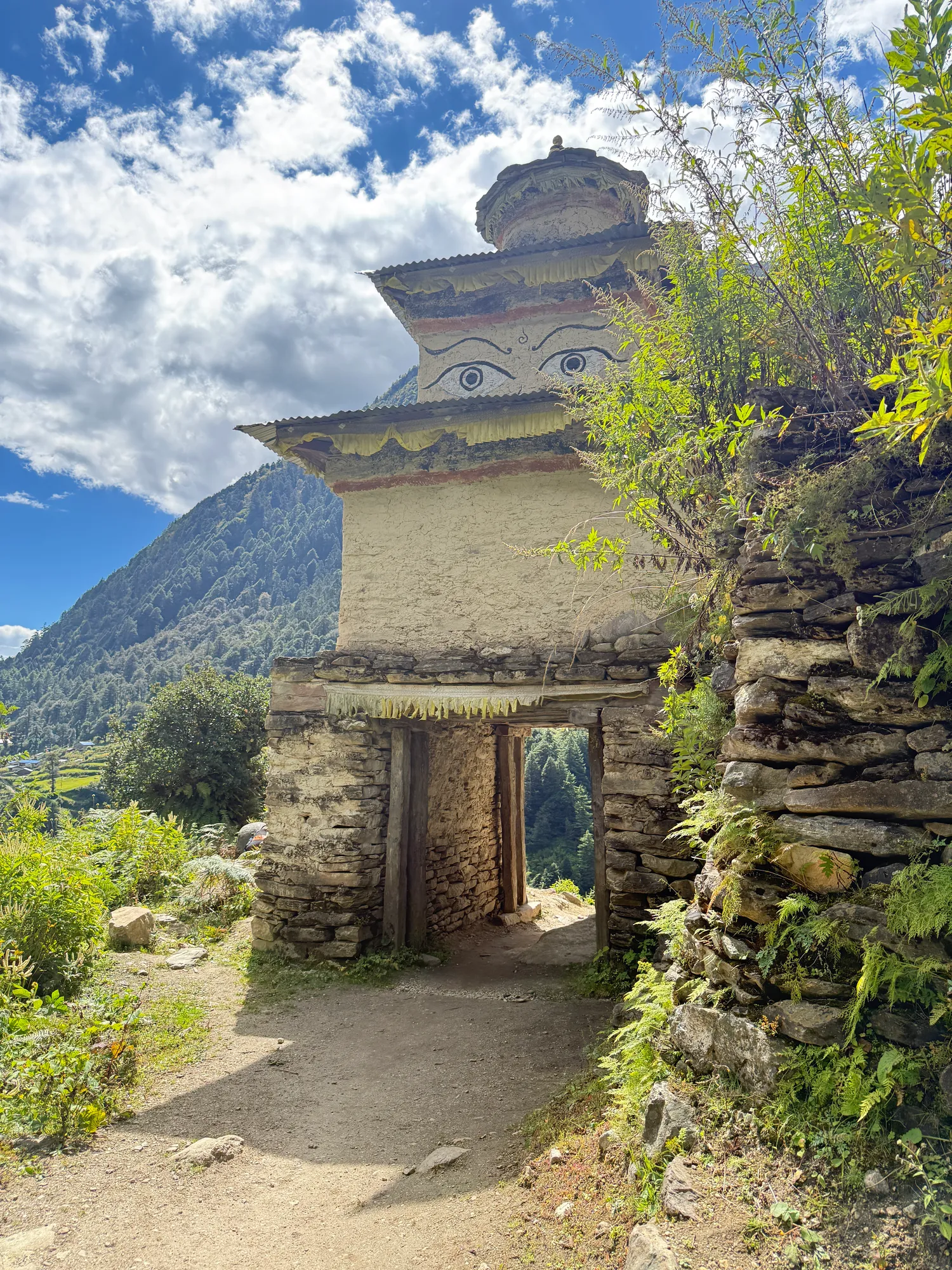
Stupa on the way
The rhythm of the hike was defined by what I call the “up-and-down tax.” A village or stupa would appear not far away, clearly at the same altitude as us. But to reach it, we would first plunge hundreds of meters downhill, only to claw our way back up again—usually with an extra mile of switchbacks for good measure. The rule of thumb seems to be: anything interesting that looks 1,640 feet away will cost you 1,312 feet of descent, 1,312 feet of ascent, and twice the distance.
For a brief stretch we had the luxury of smooth concrete paths, which allowed us to make fast progress. But the Nepalese trail designers soon corrected this lapse. Today’s innovation in questionable safety was a section where a 14-inch pipe had been laid across a slope, surrounded by loose, rounded pebbles the size of tennis balls. Walking on the pipe was possible, but it had been helpfully dusted with sand, making it as slippery as a greased log. The Nepalese Health and Safety Authority, if such a thing exists, has yet to discover this corner of the Himalayas.
About an hour from the end, a rescue helicopter buzzed past on its way to Manaslu. It’s the last days of summit season here, thanks to the mountain’s peculiar avalanche calendar, and we saw at least 40 helicopters over the course of the day. In the morning they were dots high above us, but by afternoon they were flying level with our altitude.
The final two hours wound through high-altitude forests—lush, ancient, and unspeakably beautiful. At over 11,000 feet, they felt both fragile and eternal, and I found myself unexpectedly emotional. The effort it had taken to reach them, paired with the knowledge we wouldn’t see forests like this again on the trek, made the experience bittersweet. A chapter was closing.
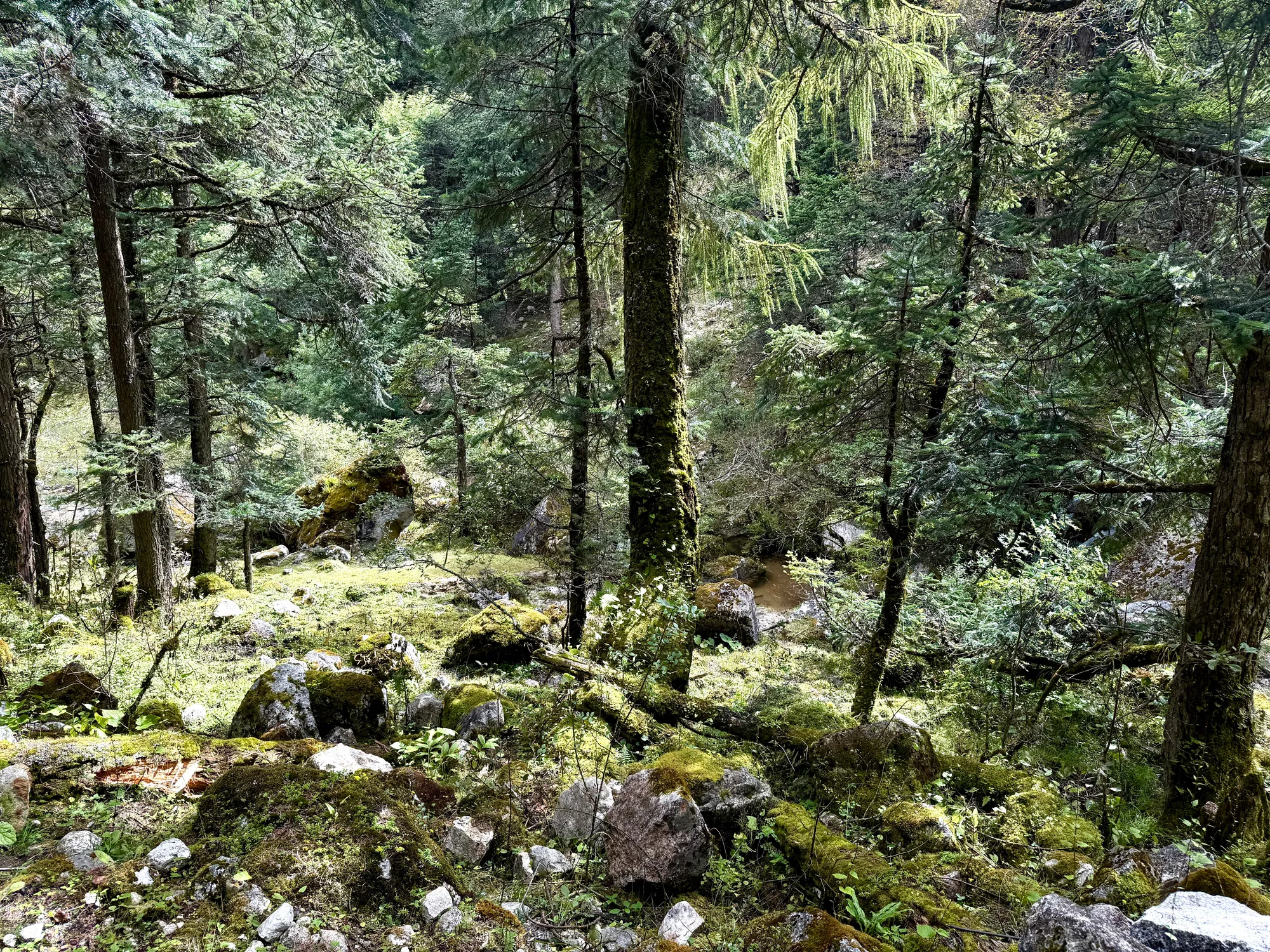
Lush forest
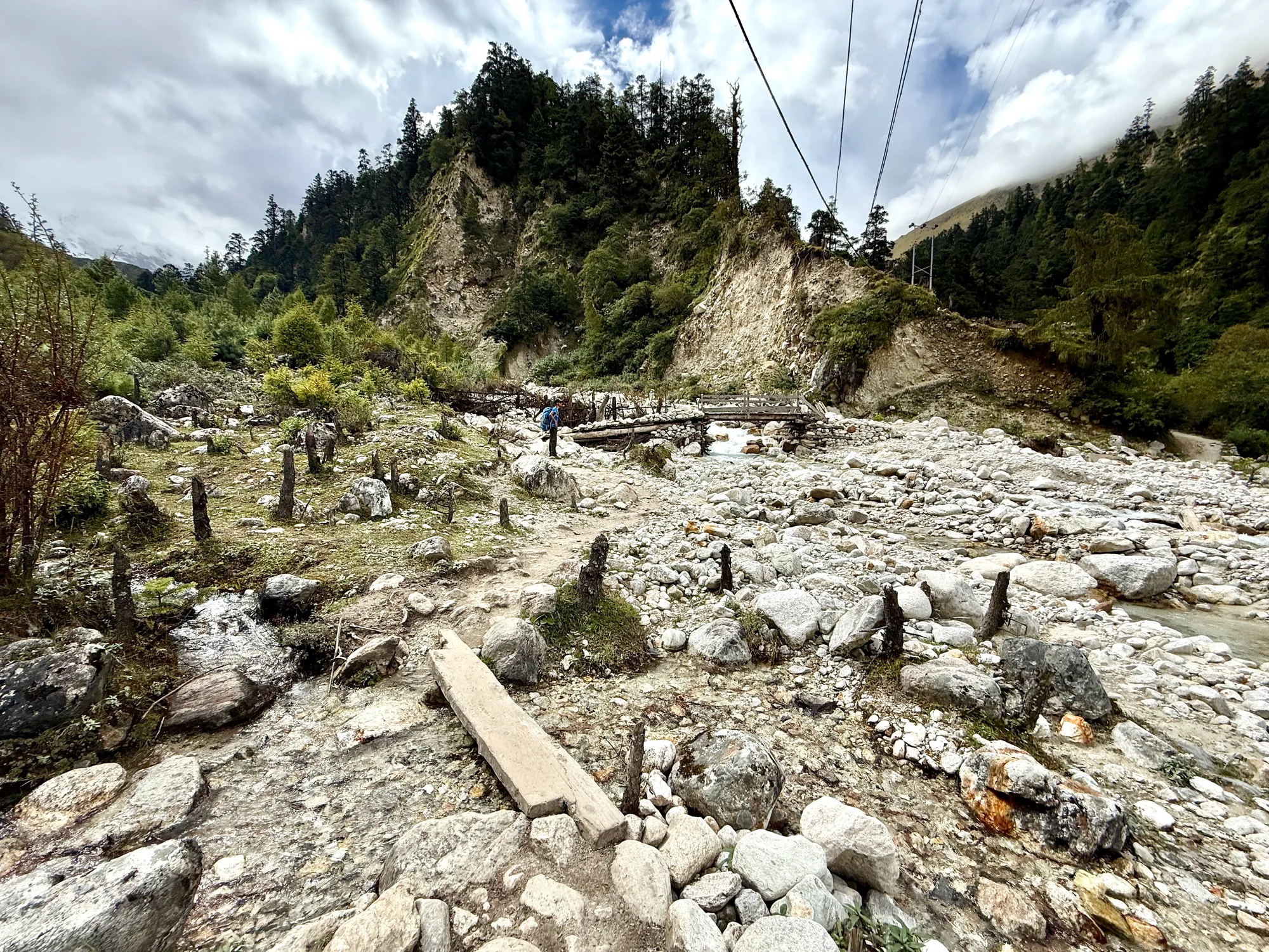
Leaving the conifers
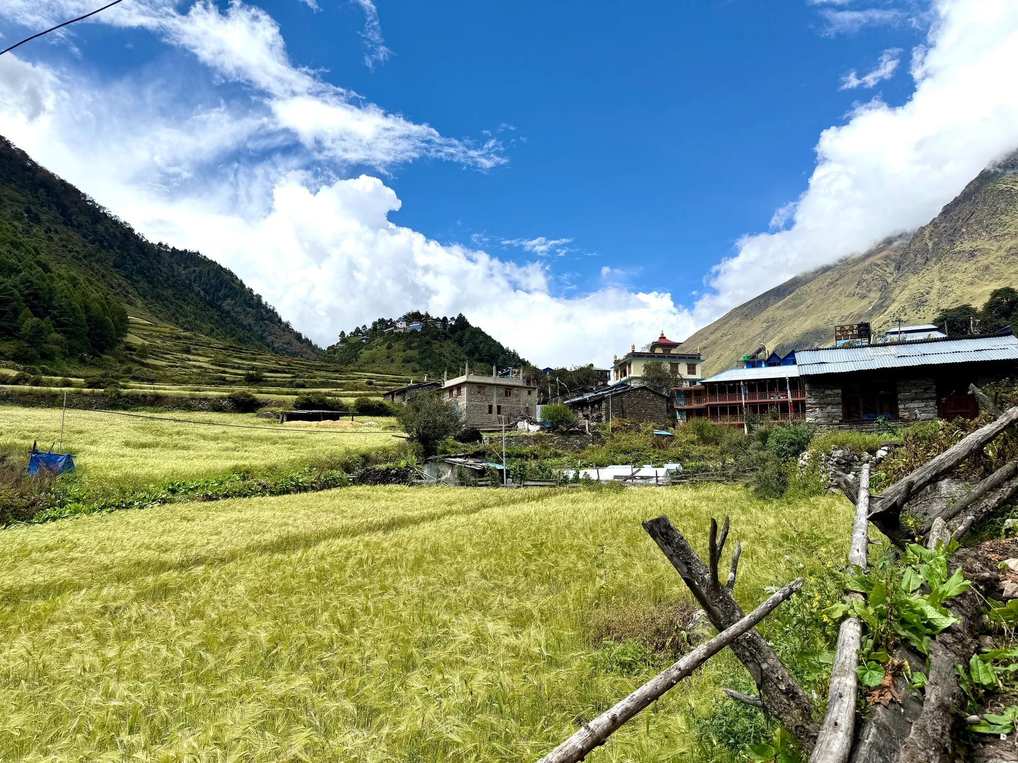
Wheat fields; Lho
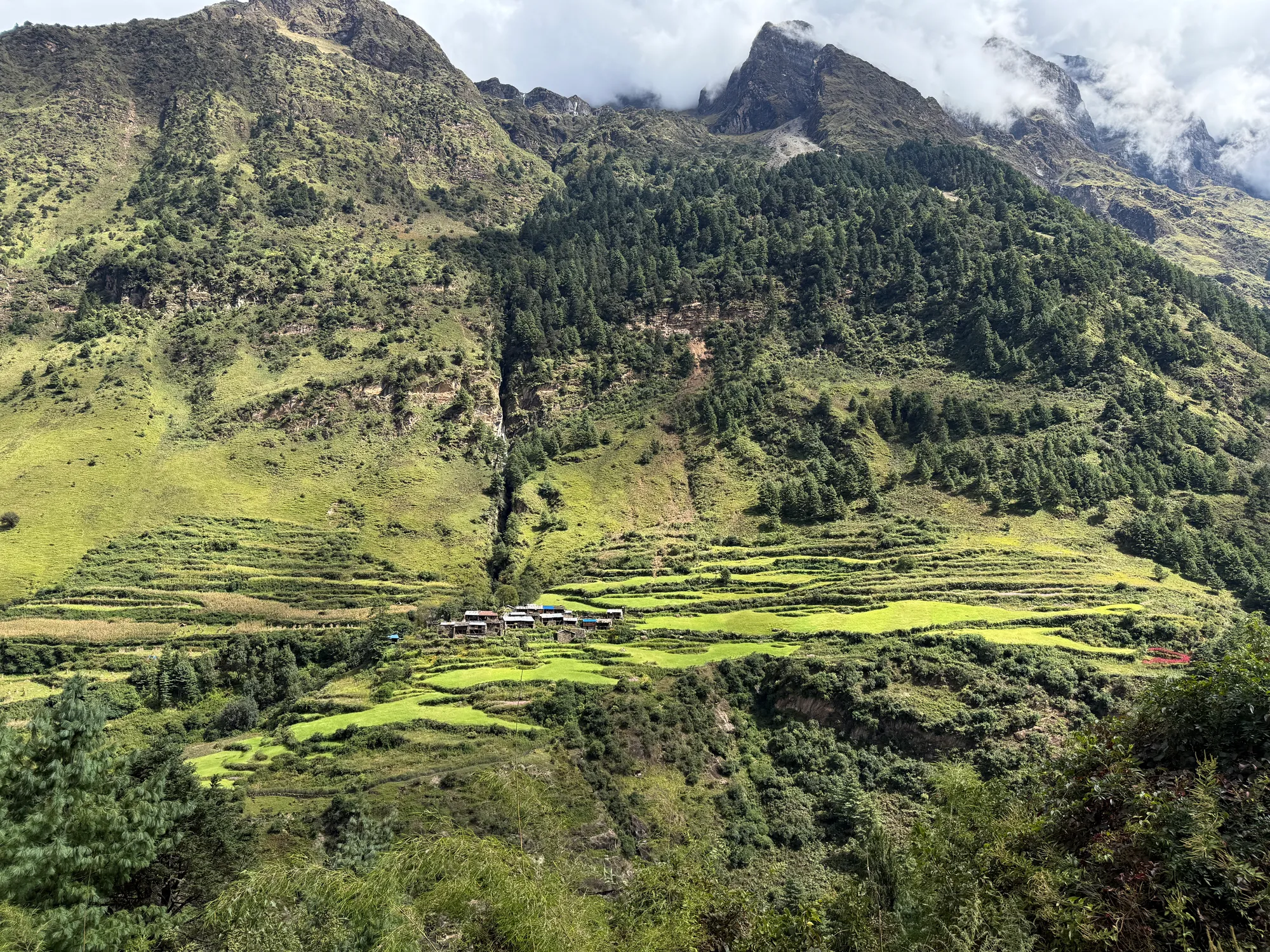
Wheat fields across the valley
We reached Shyala around 2 p.m., just 8.8 miles from Namrung, though the elevation gain and thinning air made it feel like far more. The village sits exposed to the elements, with jagged peaks - including the 5.0 miles high Manaslu - looming all around.
The internet here is abysmal, and my constant movement has managed to confuse nearly every service on my laptop. Between Google logins, GitHub sync, and the handful of apps I rely on daily, everything has essentially gone on strike. Connectivity may be gone for the foreseeable future, but perhaps that’s the point.
You can see that my pacing is improving, and my body is adapting to the work.